The "Final As-Built" That Actually Lasts
In the world of civil engineering and land surveying, the "As-Built" is intended to be the definitive record of truth—the final word on where an asset lives and how it was constructed. Yet, as any seasoned surveyor knows, traditional as-builts often begin to "drift" from reality the moment the construction crew leaves the site.
Between inconsistent data handovers, shifting terrain, and the inevitable loss of paper records, the "digital twin" created at project closeout often becomes a digital ghost. This creates a dangerous and expensive ambiguity for the next generation of surveyors and utility operators.
The Reality of "As-Built" Decay
According to research by the Construction Management Association of America (CMAA), nearly 30% of initial project data is lostby the time a project is handed over to the owner. This "information gap" leads to:
Dry Holes and Utility Strikes: Inaccurate location data contributes to thousands of utility strikes annually.
Redundant Surveying: Future teams often have to re-survey the same site because they cannot verify the accuracy of the previous as-built.
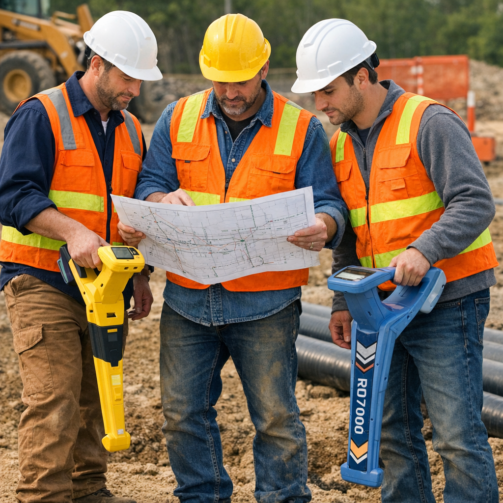
Maintenance Delays: Finding a buried valve or a specific fiber-optic line shouldn't be a scavenger hunt.
Locking Data to Physical Reality
What if the physical asset could "talk" to the next surveyor? This is the shift from a static PDF map to a living, Verified Asset Record.
By embedding RFID (Radio Frequency Identification) tags at the time of installation, DOTs and construction firms are "locking" the asset's digital identity to its physical location. This creates a permanent, unalterable link between the ground and the GIS database.
"The goal isn't just to have a map; it's to have a persistent truth. When you can scan the ground and instantly pull up the burial depth, material type, and installation date of a 20-year-old asset, you’ve eliminated the guesswork that plagues our industry." — Geospatial Technology Report, 2026.

Why RFID-Enabled As-Builts Are the New Standard
Elimination of Metadata Drift: Unlike a GPS coordinate that might have a margin of error, an RFID tag is physically attached to the asset. You are either over it, or you aren't.
Instant Verification: Using tools like InfraMarker, a surveyor can use a sensor wand to pick up a signal from a buried tag—even through pavement or soil—instantly syncing that data with their mobile device.
Future-Proofing: You are essentially leaving a "digital breadcrumb" for the next generation. As staff retires and institutional knowledge fades, the data remains embedded in the infrastructure itself.
From Physical Tags to Digital Truths
At InfraMarker, we believe that infrastructure is too important to be left to memory or outdated spreadsheets. Our system integrates high-durability RFID tags with cloud-based GIS platforms to ensure that your "final as-built" stays final.
By adopting this technology today, you aren't just completing a project; you are building a smarter, safer, and more transparent future for the surveyors who will follow in your footsteps.
Ready to see how we turn physical tags into digital truths? Contact InfraMarker today.
Sources Used:
CMAA (Construction Management Association of America):Data Loss in Project Handover Trends
Common Ground Alliance (CGA):2025 DIRT Report on Utility Strikes and Data Accuracy
Esri/Geospatial World:The Role of RFID in Modern GIS Integration (2025)
InfraMarker Technology:RFID Asset Management for Underground Utilities
Keywords: #Surveying #LandSurveyors #ConstructionTech #AsBuilt #Geospatial #Engineering #RFID #Infrastructure