The Anchor of Accuracy
Why Physical Monuments Are Your Data's Only Safety Net
A digital map is only as good as the physical iron in the ground that secures it.

Executive Summary for Leadership:
The Reality: We live in a digital-first construction world (BIM, GIS, Digital Twins).
The Risk: Digital accuracy relies entirely on physical control points. If the marker moves or corrodes, the data drifts.
The ROI: A durable survey monument costs less than 0.1% of a project budget but secures 100% of the spatial data's value.
The Myth of the "Purely Digital" Project
In modern infrastructure, we talk endlessly about the cloud. We discuss LiDAR point clouds, drone photogrammetry, and real-time GIS updates. It is easy for a VP of Operations or a Chief Engineer to believe that the physical world is becoming secondary to the digital model.
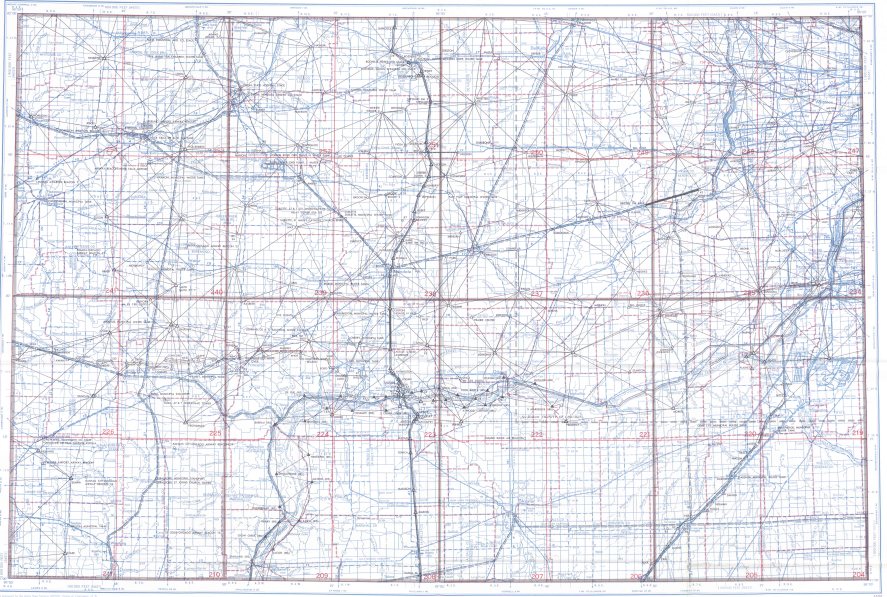
Geodetic Map of the Aurora IL area, from https://www.ngs.noaa.gov/data/survey_maps/gcdmap/
This is a dangerous misconception.
Every Digital Twin, every property line, and every construction layout is mathematically tethered to a physical point on the earth. This is the Geodetic Control Network. It is the invisible skeleton that holds up the body of your data.
If that skeleton is weak—if the monuments marking those points rust, fade, or shift—the digital body collapses.
The "One-Inch" Liability
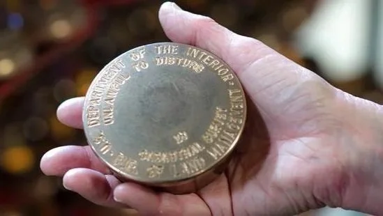
Why should a CFO care about a brass disk or an aluminum cap? Because the failure of that cap creates a liability cascade.
Imagine a control point for a highway expansion shifts or becomes illegible due to corrosion.
The Drift: Subsequent surveys rely on "best guesses" or distant alternative points.
The Error: A 0.5-inch discrepancy in the control network can compound into a foot-wide error over miles of road.
The Cost: The cost to re-establish a primary control network often exceeds $50,000 to $100,000 in crew time and analysis.
A Berntsen concrete marker, engineered to hold fast against frost heave and chemical weathering, protects against this drift. It is a one-time investment that prevents a recurring expense.
Material Science Meets Asset Management
Not all markers are created equal. In the C-Suite, you make decisions based on Lifecycle Cost Analysis (LCA). You should apply the same logic to your monuments.
The Commodity Option: Rebar with a plastic cap. Vulnerable to bending, fading, and removal. Life expectancy: 5-10 years.
The Berntsen Option: orbital-forged brass, orbital-forged aluminum, and deeply anchored concrete markers. Engineered to resist galvanic corrosion and physical displacement. Life expectancy: 50+ years.
When you choose the latter, you aren't just buying a marker. You are buying a 50-year warranty on your project's coordinate data.

Securing the Legacy
Infrastructure is a long game. The bridges, dams, and boundaries we set today will need to be referenced by surveyors who haven't been born yet.
A map is just a drawing until it is anchored. The anchor must be stronger than the elements. By insisting on high-durability markers for your projects, you ensure that the millions spent on design and construction remain valid for decades.
Don't let your data float away. Anchor it.