
Labor Day: Honoring the Profession That Has Helped Define Our World
Labor Day is a time to recognize the work, skill and determination of the people who build, maintain and advance our communities. For the surveying profession, Labor Day carries an especially meaningful connection to history.

George Washington's survey of the site of Belhaven (Alexandria) Virginia made in 1748. From the Library of Congress.
Surveying is often described as the second-oldest profession, reflecting the fact that the need to measure, locate and define land dates back thousands of years. Ancient surveyors were responsible for measuring land, establishing boundaries and laying out cities and infrastructure. The profession has continued to evolve alongside civilization, helping establish property boundaries, support land development and construction, and create the geographic framework on which communities are built.
In the United States, surveying has played an important role in the development and settlement of the nation. Surveyors mapped land, established boundaries and monuments, and supported the development of roads, communities, farms and infrastructure. George Washington, for example, worked as a professional land surveyor as a young man, completing more than 190 surveys between 1749 and 1752.
Today, surveying remains fundamentally concerned with measuring and establishing the location, position and relationships of features on or near the Earth's surface. Professional surveyors work with property boundaries, land records, construction projects, infrastructure, topographic information, geodetic measurements and spatial data. Modern surveying also incorporates technologies such as GNSS/GPS, robotic total stations, GIS, photogrammetry, LiDAR, drones and digital mapping.
The tools have changed dramatically. The fundamental responsibility has not: producing reliable and legally defensible information about the location and characteristics of the physical world. [1]
And Now, AI Is Everywhere
This Labor Day, there is another part of the evolution of work worth examining: artificial intelligence.
AI is no longer a technology confined to research laboratories or a handful of specialized industries. It is increasingly being incorporated into everyday business processes and professional tools, including those used in surveying and related fields.
For surveying, AI is being explored and applied in several areas:

Data processing and analysis. AI can help process large volumes of spatial information and identify patterns, features and relationships within datasets. Surveying already produces substantial amounts of data through field measurements, aerial imagery, LiDAR, GIS and other technologies. AI can assist with analyzing and organizing that information. [2]
Automation and feature extraction. AI can automate portions of repetitive workflows, including identifying features in imagery and point clouds, classifying data and extracting information from documents. Recent applications are also using AI to help analyze property deeds and other land records. [3]
Document and records analysis. Land surveying frequently involves reviewing deeds, plats, legal descriptions and other historical records. AI-based tools can assist with searching, organizing and interpreting large collections of documents, while the professional remains responsible for evaluating the results.
Mapping and visualization. Surveyors already use GIS, photogrammetry, LiDAR and other technologies to turn measurements into maps and three-dimensional representations. AI can assist with classification, interpretation and other portions of these workflows.
Quality control. AI can be used to identify anomalies, inconsistencies or potential errors in large datasets, giving professionals another tool for reviewing information and identifying areas that warrant closer examination.
These applications represent an evolution of surveying technology rather than a replacement for the profession itself. Surveyors have repeatedly incorporated new technologies—from electronic distance measurement and GPS to robotic instruments, drones, LiDAR and GIS—to improve how measurements are collected, processed and communicated.
What Does AI Mean for the Surveyor?
That brings us to an important question: As AI becomes more capable, what will remain uniquely important about the professional surveyor?
The facts point to an important distinction between performing a task and being responsible for the result.
Surveying involves more than collecting measurements or producing a map. Professional surveyors may need to evaluate physical evidence, interpret records, resolve conflicting information, determine how established principles apply to a particular situation and meet professional and legal requirements. [3]
Boundary surveying illustrates this particularly well. Establishing a property boundary can require research into deeds and prior surveys, examination of physical evidence in the field, analysis of measurements and application of the laws and standards governing property boundaries. The National Council of Examiners for Engineering and Surveying (NCEES) identifies property conveyance and boundary-line determination, as well as technical field experience, among the areas relevant to professional surveying licensure.
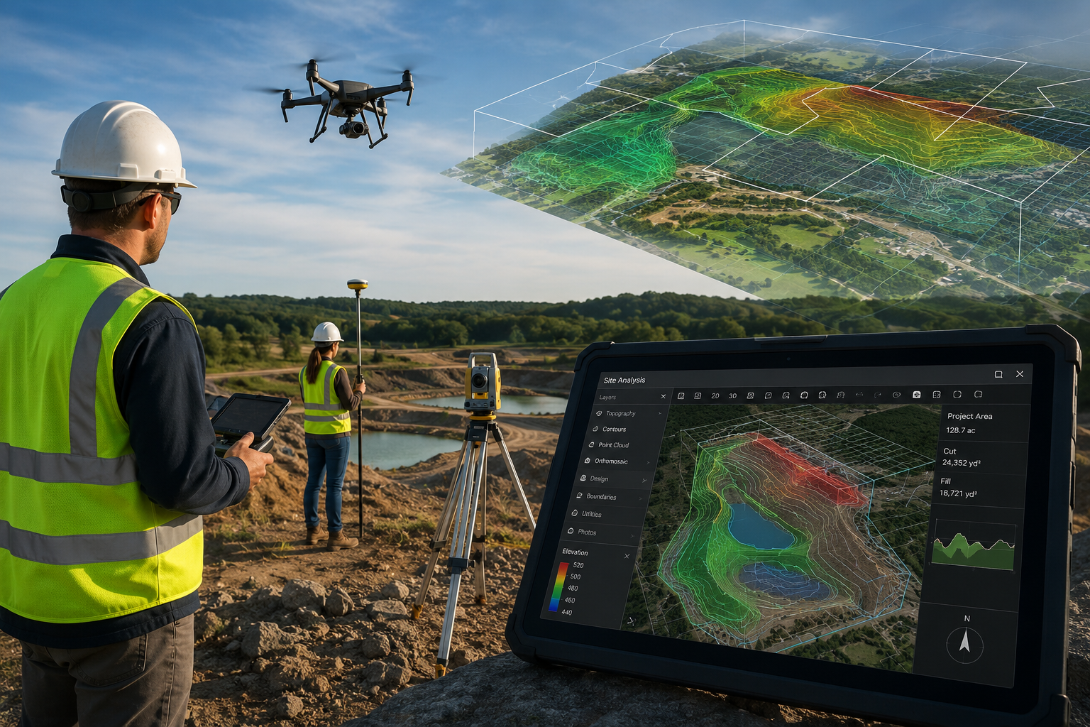
Image generated using AI
The profession also carries a responsibility to the public. In the United States, surveying is a licensed profession, with state licensing systems established to ensure that individuals performing professional surveying work meet education, experience and examination requirements. NCEES describes surveying licensure as part of protecting the public and establishing a baseline of professional competence.[4]
AI can process information. It can identify patterns. It can automate portions of a workflow. It can make large datasets easier to work with.
But those capabilities do not eliminate the need for a professional who understands what the information means, whether it is reliable, how it should be applied and who is accountable for the result.
That distinction is already reflected in professional standards. In 2026, the Royal Institution of Chartered Surveyors (RICS) implemented a global professional standard for the responsible use of AI in surveying practice. The standard emphasizes governance, evaluation of AI outputs, professional judgment and continued accountability by surveyors. [5]
A Profession That Continues to Evolve
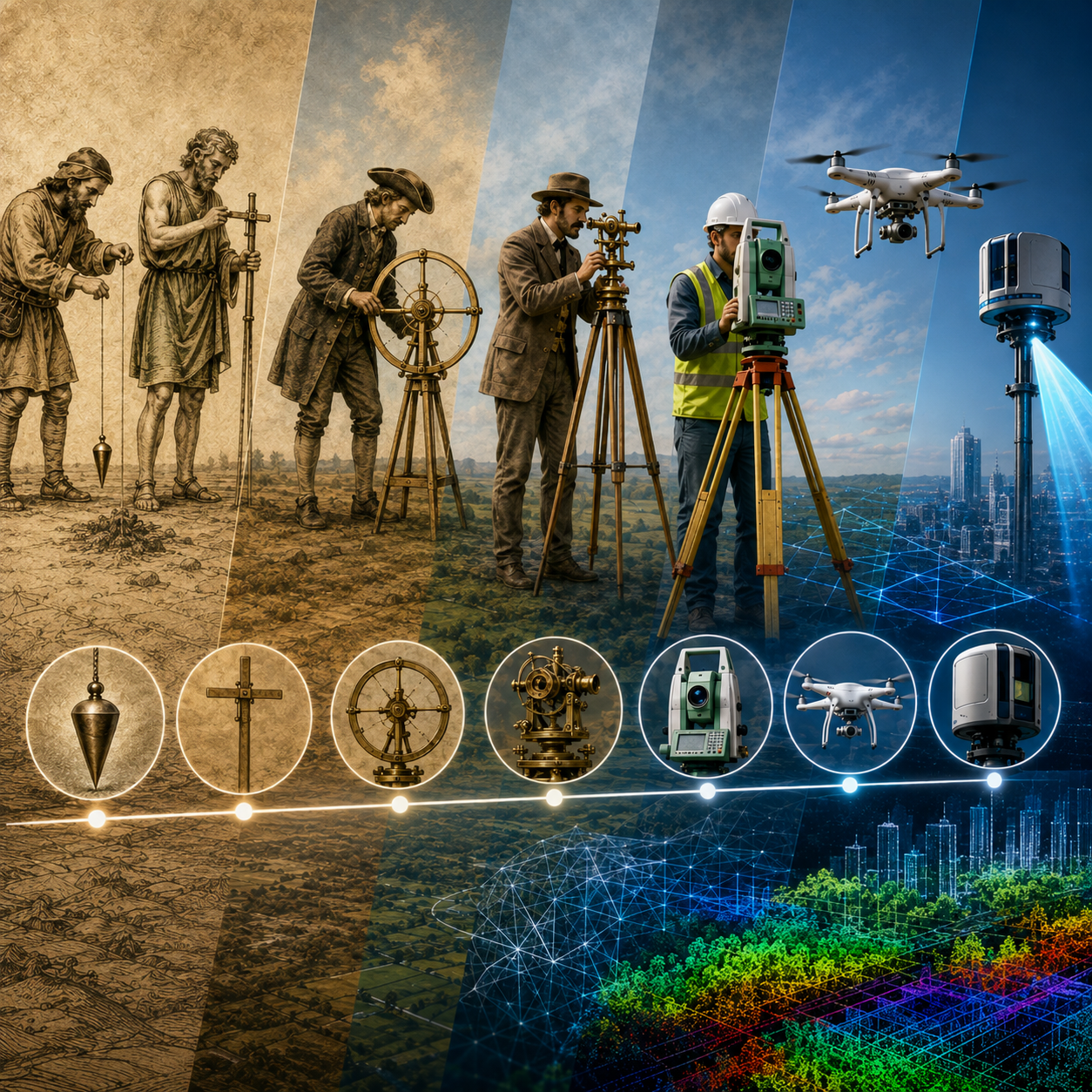
Image generated using AI
Labor Day gives us an opportunity to look back at how work has shaped our country. Surveying provides a remarkable example of that evolution.
For thousands of years, surveyors have used the best tools available to measure the world around them. Chains and compasses gave way to electronic instruments and GPS. Paper maps evolved into digital maps and GIS. Aerial photography expanded into photogrammetry, drones and LiDAR. Today, AI is becoming another tool in that progression.
The technology will continue to change.
The need for accurate information about where things are, how they relate to one another and what those measurements mean will remain.
That is why surveying's long history makes Labor Day particularly relevant. It is a profession rooted in some of humanity's earliest efforts to measure and define the world, yet it continues to adapt to technologies that would have been unimaginable to those early surveyors.
This Labor Day, we recognize the surveyors who continue that work, and how the next generation of technology, including artificial intelligence, is changing the way that work gets done.
Footnotes
[1] https://www.ferris.edu/news/archive/2026/will-ai-replace-human-land-surveyors.htm
[2] https://www.lctss.in/ai-land-surveying-2026
[3] https://pdpspectra.com/blog/ai-surveying-photogrammetry-2026
[4] https://ncees.org/wp-content/uploads/Model_Rules_2022_web.pdf?
[5] https://ww3.rics.org/uk/en/journals/land-journal/ai-will-not-replace-surveyors.html