4 Biggest Asset Management Challenges
And how to solve them with RFID
Asset management is key to every economic sector, impacting manufacturing, utilities, transportation, agriculture, fishing, mining, forestry, construction – to name a few. Each sector faces continual challenges, including fluctuating economic conditions, climate impacts and the ever-present pressure to improve efficiency. That means getting the most out of every asset, even assets that are distributed over a large geography, moving or buried underground. It’s a daunting challenge.
Fortunately, technology has made it possible to precisely manage any asset, anywhere. Geographic Information Systems (GIS) is a versatile technology that uses location as the basis to build data sets that can deliver information used for patten recognition, analysis and asset management. When combined with as Radio Frequency Identification (RFID), GIS delivers precise on-site asset identification and while automating asset history records.
In this post, we’ll explore four of the biggest asset management challenges organizations face today, and offer practical insights to navigate complexities, optimize operations, and drive long-term success with RFID and GIS.
1. Efficient management of look-alike assets

One of the most persistent problems facing asset managers is helping field teams locate and correctly identify a specific asset for maintenance. For example, mid-size city can have thousands of water valve boxes that all look exactly alike and may even be in close proximity to each other. GIS can help crews get close to a specific valve box needing repair, but locating the correct asset is a challenge. RFID addresses this with a simple scan of the tagged box, instantly identifying the asset and launching a maintenance workflow. RFID removes human guesswork by tying each scan to the right record, every time.
The integration of an RFID app into GIS makes it easy for crews to correctly identify any asset – from valve boxes to transformers to telephone poles. Anything that can be tagged can be identified, tracked and managed, including livestock, fish, trees, tools and even dinosaur bones.
Benefit: Saves identification time, prevents costly errors, ensures precise asset identification and transcription
2. Protect Valuable Infrastructure Assets
When infrastructure fails, the consequences go far beyond a broken part.
It could mean outages, safety risks, and service disruptions. For public agencies and utilities, it impacts more than just the asset. It affects operational budgets, regulatory compliance, and public trust.
That’s why high-value infrastructure can’t be managed with guesswork or outdated tools. Asset tracking must be proactive, precise, and fully connected to your GIS.
Why RFID for High-Value Assets?
InfraMarker RFID delivers more than just asset identification. RFID creates a permanent digital identity that stays with the asset throughout its lifecycle.
From installation through inspections and replacements, InfraMarker RFID tags ensure each asset is uniquely identified and fully integrated into Esri ArcGIS. That means:
No duplicate records
No data loss in the field
No delays between inspection and GIS update
Each scan triggers a real-time update to your GIS that eliminates manual data entry and connecting your field operations directly to your system of record.
Benefit: Automated verification delivers complete location and regulatory data instantly.
3. Managing Mobile Assets with RFID + GIS

Portable bins, relocated signs, replaced valves are just some of the assets that move. But your records shouldn’t get lost. RFID links identity to GIS, so you can maintain accuracy even as assets are replaced or repositioned.
When managing an inventory of thousands of assets, it’s a challenge to keep track of them all. RFID provides the ability to instantly identify any asset in the field and verify its identity in GIS.
Here are a few examples of how RFID helps manage mobile assets:
Data centers are continually being upgraded or modified to meet customer demands. Customers not only own the data, but they may also own the equipment used to process or store the data. Simply locating each piece of equipment is a challenge.
“One of the primary advantages of RFID technology for data center asset tracking is its ability to give improved visibility and real-time tracking capabilities. RFID tags attached to assets generate radio signals, which are detected by RFID readers strategically located throughout the data center. It enables data center operators to track the position and movement of assets in real time, minimizing the need for human searches and mitigating the risk of asset loss or misplacement. RFID enables data center administrators to swiftly detect assets, trace their movement around the facility, and guarantee maximum resource utilization”.[1]

RFID increases the efficiency and accuracy of inventory management in factories. A continual challenge for manufacturers is keeping the right amount of stock on the shelves to prevent slow-downs due to lack of parts or investing in too many parts that can negatively impact cash flow. The best solution is to know exactly what and where each part is.
“Inventory mismanagement — whether through overstocking or shortages — can significantly impact profitability. In addition, challenges like managing kitting operations, monitoring expiration dates, and ensuring the proper storage of temperature-sensitive items add layers of complexity.
RFID technology addresses these issues with real-time updates on inventory levels. Automated systems powered by RFID ensure accurate reordering, preventing overstocking or stockouts. For temperature-sensitive products, RFID sensors provide continuous information, ensuring items are stored within the required thresholds and minimizing spoilage. . .
With inventory efficiency between 50% and 90% in most manufacturing plants, RFID offers the potential to move facilities closer to the upper end of that spectrum. By automating tedious processes, manufacturers can focus on higher-value tasks while reducing waste and inefficiencies”.[2]
Benefit: Instant verification allows full visibility into processes and activities for better asset management.
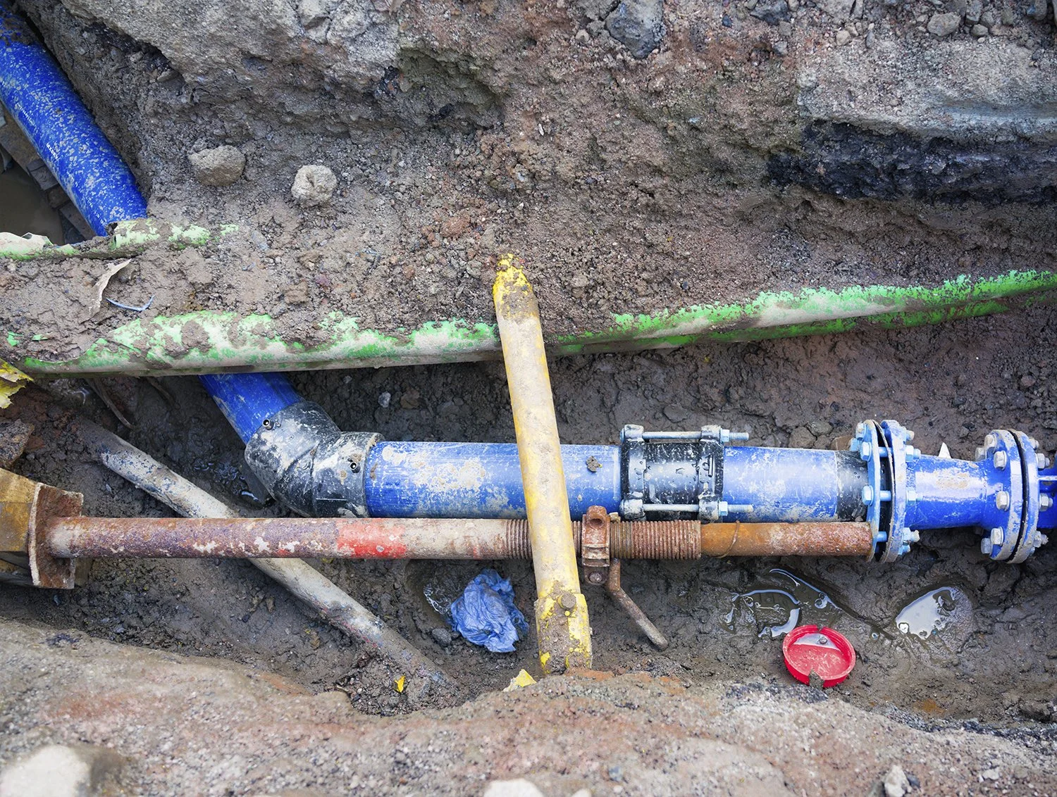
4. Efficiency and safety in high-density asset environments.
Busy stormwater systems, utility yards, underground markers; for all of these, RFID delivers fast, accurate scans in congested spaces.

For work crews assigned to prepare culverts, catch basins and other stormwater assets for upcoming weather events, RFID provides the assurance that they are in the right place when time is of the essence.
In utility yards, RFID verifies and tracks as each item is selected, transported and installed, providing inventory control and life cycle tracking.
For excavators, underground RFID markers help them “know what’s below” before they start digging. Each year in the U.S., the cost of unintentional utility strikes is more than $30 billion [3]. Ensuring that underground locators mark the location of underground pipes and cables is a good first step in preventing costly utility strikes. Unfortunately, underground locating is not always accurate, even if there are maps to help with the locating. A groundswell of support is growing for the comprehensive use of GIS mapping for all underground utilities. In the report Next Practices Report to the Industry listed a GIS-based mapping system/database as an opportunity for systemic improvement, stating “a comprehensive national GIS map of buried infrastructure would make the locating process drastically more efficient and accurate, and identify abandoned facilities.”[4]
A report from the Pipeline and Hazardous Materials Safety Administration (PSMSA) states that
“Advances made in developing technology improve efficiency and accuracy in the facility locating process. However, more work is needed, for example, to include technology to address pipelines currently un-locatable through existing technology. The use of RFID, in combination with GIS, shows promise to address the issue of un-locatable pipe. Other technologies such as ground penetrating radar are in use, and improvements in such technologies will assist in difficult-to-locate circumstances. Similarly, rights-of-way monitoring systems that detect movement on or around pipeline rights-of-way show promise. PHMSA recommends the continued use of and further development of these tools…”[5]
GIS maps of underground assets are essential, and RFID is key to ensuring those maps are accurate in the field where it counts. Along with preventing costly and dangerous utility strikes, the InfraMarker RFID app streamlines workflows.
No more digging through layers or paperwork. Just scan and sync.
Benefit: RFID allows you to “Know what’s below” before excavation.
Summary
Technologies like RFID are no longer optional; they’re essential. For asset managers striving to meet the demands of a heavy workload while promoting safety and efficiency, RFID offers a clear path forward.